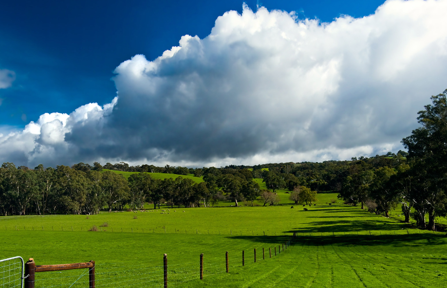
(Simpson Desert)
Also known as the Alenta Desert, located in the middle of Australia, Australia has four major deserts, are distributed in the center of the western plateau, they are the Great Sand Desert, Victoria Desert, Gibson Desert, and a little east of the Simpson Desert. These four parts together make up the Australian desert.
(Lord Howe Island Group)
It is a narrow island extending north-south in the Tasman Sea in eastern Australia, belonging to New South Wales, Australia, about 600 kilometers away from the Australian mainland, about 780 kilometers northeast of Sydney, with an area of 14.6 square kilometers.
The highest point is Mount Gol, 875 meters above sea level, which is a volcanic island. The island is heavily forested and has little arable land. The resident population is about 350. In 1982, the Lord Howe Islands were declared a National Park to protect the area's precious flora and fauna.
(Esperance)
A port city on the southern Indian Ocean of Western Australia, Australia. Esperance Bay, 346 km south of Kalgoorlie. Population 6,400 (1981). Vast hinterland for wheat, flax, sheep producing areas. Salt industry developed, gold, nickel ore export port. Famous seaside resort.
(Misery Angle)
Cape Tribulation is located in northern Queensland, about 110 km from Cairns, and was named by Captain Cook in 1770. Cape Tribulation is located in Dane Tree National Natural Park, is the intersection of two major World Heritage sites, "the world's oldest tropical rainforest and the Great Barrier Reef", forming a very special landscape, has become one of Australia's most high-profile tourist attractions.
(Banbury)
It's a port city in Western Australia. It is located on the Indian Ocean coast in the southwest of the mainland, near Qiao Grafey Bay. 152km south of Perth. Population: 22,000 (1981).
(Purnululu National Park)
Located in the northeast of Western Australia, the Eastern Kimberley region is close to the Northern Territory border, about 3020 kilometers from the capital of Western Australia Perth, about 1150 kilometers from the capital of the Northern Territory Darwin, covering an area of about 2397 square kilometers, and the location on the map is just north of Australia.
The word "Bonururu" comes from an Australian Aboriginal word meaning "sand and stone". The plains in this park are covered with forest and grass, and there are steep cliffs. There are also many Aboriginal art and burial sites here, which is one of Australia's World Heritage sites. Bonururu National Park is Australia's 15th Natural World Heritage Site. In 2003, it was inscribed on the World Heritage List as a World Natural Heritage Site.
(Hervey Bay)
A city of southeast Queensland, Australia. It was named by Captain James Cook when he passed through it in 1770. About 300km north of Brisbane, Hervey Bay is both a water paradise and the best place to experience Australia's wild natural environment. The waters of Hervey Bay are safe and protected, making it ideal for water sports such as swimming, snorkeling, scuba diving, sailing and fishing all year round.
(Ningaloo Marine Park)
From Exmouth to the northwestern promontory of the Red Cliffs, covering an area of 5,000 square kilometres, the Ningaloo Reef Complex is one of the largest living coral reefs in the Ningaloo Marine Park in the world. It is also one of the very few places in the world where you can swim with whale sharks. For divers and those with straws, the experience of swimming at Ningaloo Reef is unbeatable.
(Willandra Lakes)
It is located in the Murray River basin in southwestern New South Wales. It is divided diagonally from southwest to northeast by the counties of Ballanard and Wentworth. The central area is 70 meters above sea level. This area falls under the jurisdiction of the New South Wales Government. Only a small area was legally protected, Mongo National Park, declared in 1979 under the New South Wales National Parks and Wildlife Act 1974.

