
(Ozala National Park)
Ozala National Park is a national park in the central African country of the Republic of the Congo, located in the northwest of the country, near the border with Gabon, covering an area of 1260 square kilometers, an altitude of 400 to 600 meters, established in 1935, the annual average rainfall of 1,400 to 1,600 mm, wildlife including gorillas, chimpanzees, African elephants and so on.
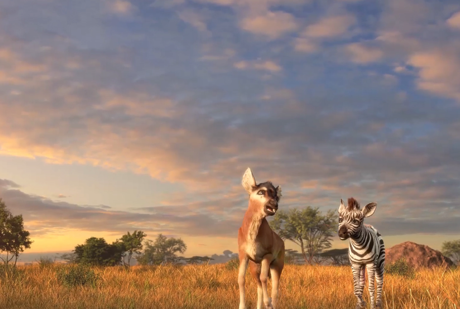
(The Batai Plateau)
Bataikai Plateau is located in Congo near the equator, the climate is hot, rich in products; The Highlands are followed by the vast Congo Basin.
The Congo savanna forest is 13.7 million hm2, mainly distributed in the Atlantic coast of the Pointe-Noire region, the Niari River Valley, the Batai Plateau and other three regions.
(Sanha)The Sanha River is located in the northwestern Congo Basin, where Cameroon, the Republic of Congo and the Central African Republic meet. With a total area of 750,000 hectares, it belongs to the tropical rainforest ecosystem.
(Nyiragongo)
Mount Nyiragonga, also translated as Mount Nyiragonga, is one of the most famous volcanoes in Africa, located 10 kilometers north of Goma, the capital of North Kivu province of the Congo (Democratic Republic of the Congo), 1.52° south latitude, 29.25° East longitude, 3470 meters above sea level.
Mount Nyiragongo is an active volcano in the Virunga volcano cluster in central Africa and one of the most dangerous volcanoes in Africa. There were 20 eruptions in Nyiragongo during the Holocene, of which only one was of VEI magnitude 2 or greater.
(Virunga National Park)
Virunga National Park is located in North Kivu province in the eastern part of the Democratic Republic of the Congo, close to the border with Uganda and Rwanda, with a core protected area of 7,900km2.
The park is home to a variety of outstanding natural habitats, including swamps, terraces, the Lowenzori Snow fields at 5,000 m above sea level, and the lava plains and savannas below the volcanic slopes. The park protects mountain gorillas, and the river area supports about 20,000 hippos; Countless birds fly to the park from Siberia for the winter.
(Ubangi River)
Oubangui River, also known as Oubangui. The Ubangui River is a major tributary of the Congo River in central Africa.
It is believed to begin at the confluence of the Mbomu and Uele rivers, extending 350 km to the west, then turning southwest through Bangui and flowing 500 km south to the Congo. The Ubangui and Congo Rivers are the main traffic routes between Bangui and Brazzaville.
(Kahuz Viega National Park)
Kahuz-beega National Park takes its name from two extinct volcanoes, Kahuzi (3,308 m) and Biega (2,790 m). It is located in the Kalehe and Kalare regions of Orientale Province, Democratic Republic of the Congo, west of Lake Kivu, 50 km northwest of the city of Bukavu.
There are various types of natural scenery in the national park, the scenery is very beautiful, but also live a large number of animals.
As one of the few mountain gorilla colonies in the world, the park is particularly notable. Because of civil war, forest fires and poaching, Kahuz-Bega National Park has been on the list of World Heritage in Danger since 1997.
(Garamba National Park)
Garamba National Park is located in the Eastern Province of the northeast of the Democratic Republic of the Congo close to the border of southern Sudan, the core protection area of 4920km2 of a vast area of tropical savanna, meadows and forests, as well as distributed in the river banks and low-lying wetland environment of the corridor forest, elephant, giraffe, hippopotamus and white skin rhinoceros provide a natural home for 4 large mammals.
Although the white rhino is much larger than the black rhino and does not harm other animals and plants, its population is only about 30.