
(Greater Saint Lucia Wetland Park)
Located between sea level and 474 meters above sea level, the Greater Saint Lucia Wetland Park covers a total area of 2,395.66 square kilometers and consists of a coastal plain and continental shelf.
Continuous rivers, ocean, and wind erosion have created a diverse landscape that includes coral reefs, long sandy beaches, coastal dunes, lakes, swamps, and large reeds and papyrus bogs.
Lakes, sand dunes and beaches surround Lake Saint Lucia, a freshwater lake that meets the Indian Ocean at its mouth, with not only oceans, beaches and underwater caves, but also wetlands, meadows and lakes.
(National Museum of Niger)
The National Museum of Niger is located in the capital Niamey on the Niger River hill, the museum by the mountain and the river, a milky exhibition hall, scattered on the scenic hillside.
The museum, which broke ground in 1959 and was completed in 1972, lasted 14 years, covering an area of about 24 hectares. The National Museum of Niger is unlike most museums in the world.
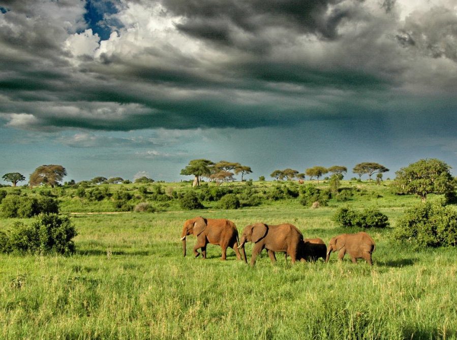
(Air and Tenere nature Reserve)
One of the largest protected areas in Africa, covering about 7.7 million hectares, the entire area covers only one-sixth of the total land area. The region includes the Air Volcanic Fault, a small Sahel region with a different climate, vegetation and fauna than the Sahara Desert, and is known for its diverse landscapes and diverse flora and wildlife.
("W" National Park)
Located on an area of 220,000 hectares in southern Niger, adjacent to the animal protection buffer zones of Tamu (75,600 hectares) and Dosso (306,500 hectares), it has an ecosystem that has developed since the Neolithic period through continuous interaction with humans. The park supports one of the largest populations of ungulates in West Africa.
(The Tenere Desert)
It's one of the famous deserts in Africa. Located in the eastern part of Niger, it borders the Air Plateau to the west, the Ahagar Plateau to the northwest, the Jado Plateau to the northeast, and opens to the Chad Basin to the south. It covers an area of 400,000 square kilometers, accounting for one third of the total area of Niger. The name is Tamashek, which originally means "desert".
(Air Heights)
Not far north of Agadez, an ancient trading town in central Niger, stretches a charcoal-gray plateau that rises out of the Sahara desert like a small boat filled with coal floating in a sea of cream: the "boat" is the Air Plateau.
The peaks and plateaus of Air have been sculpted over time and are formed from a complex mix of rocks, including magmatic ring dikes, granitic intrusions, Paleozoic sandstones and recent lava flows.
(Lagos)
The beaches of Victoria Island and Takwa Bay are the main attractions of Lagos. The National Museum here contains a rich collection of Nigerian cultural heritage and attracts a large number of tourists.
(Calabar)
Calabar is a port city in Nigeria and the capital of Cross River State. At the southeast end of the border, on the shore of the Calabar River, 64 kilometers from the mouth. Natural harbor, can accommodate the draft of 6 meters of vessels. From the 15th to the 19th centuries, slaves were transported from this place.
It was the capital of Southern Nigeria from 1900 to 1906. It is now a trade, processing center and export port for rubber, palm oil, palm kernel and copra. Offshore fishing is strong, with fish processing and cement, sawmilling, and shipbuilding. There are Calabar University, teachers college and so on. There is an air station.