
(Lake Malawi National Park)
Lake Malawi National Park, located at the southern end of Lake Malawi in the Republic of Malawi, consists of 12 small islands and 3 landmass in the Cape Maclear Peninsula and its surrounding area, and is the world's first freshwater lake national park.
In 1984, UNESCO listed Lake Malawi National Park as a natural heritage site and included it in the World Heritage List. Lake Malawi is located south of the valley floor of the Great Rift Valley, where Malawi, Tanzania and Mozambique meet, and most of the water is in Malawi.
The lake is part of the East African Rift Valley and is a typical fault subsidence lake. Lake Malawi is a narrow shape, about 500 kilometers long from north to south, 32-80 kilometers wide from east to west, 472 meters above sea level, the average depth of 273 meters, is second only to Lake Victoria, Lake Tanganyika, the third largest lake in Africa.
(The Jongoni Rock Art District)
The Jongoni Rock Art District, located in Dedza, central Malawi, is one of the finest rock art districts in Africa. The heritage consists of 127 sites in the forested granite hills of Malawi's Central Plateau, covering an area of 126.4 square kilometres.
(Kasungu National Park)
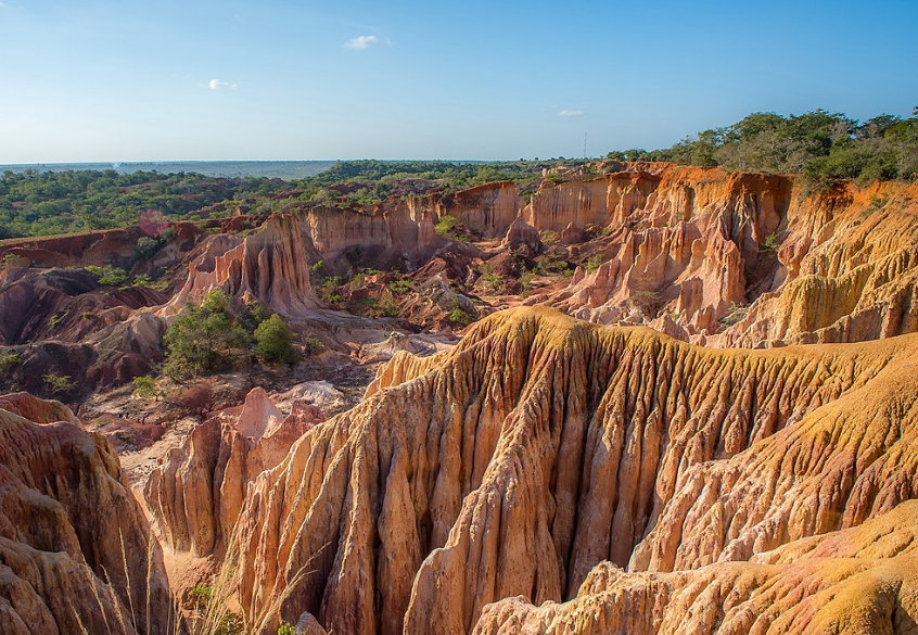
Kasungu National Park is a national park in western Malawi.
(Djenne ancient city)
Known by the world as the "jewel of the Niger Valley", the ancient city of Djenne, located in the southern tip of the Niger Delta in central Mali, is famous for its unique Sahrawi - Sudanese architectural style.
Djenne was founded in 800 AD, near the Sahara and rainy Sudan, at a point of transition between nomadic and fixed settlements. It was built on a small defensive island in the Niger River valley, just 500 kilometers from the river to the nomadic trading town of Timbuktu.
(National Museum of Mali)
The National Museum of Mali was built in 1981 The museum consists of two main aspects: in the exhibiton area, in a U-shape, there is a permanent exhibition on the 1st floor, two wings in the third wing of the temporary exhibition building; And laboratories and storage rooms, including research and administrative offices, which are located in two other U-shaped buildings.
(Bangjagara Cliffs)
The Bangjagara Escarpment, located in the Bangjagara Plateau in the central part of the Republic of Mali, is a fault mountain range on the side of the River Niger in the Bangjagara Plateau, which runs east-west. The cliff is mainly composed of sandstone, about 500 meters high from the ground and about 150 kilometers long.
The cliff area was mainly inhabited by the Dogon people, and was previously inhabited by the Tellem and Toloi people. Along the cliffs, there are about 400 Dogon settlements. The World Cultural and Natural Heritage site "Cliffs of Bangjagara (Dogon Region)" consists of two sites: La Falaise de Bandiagara (Bangjagara Cliffs) and Village de Songo.
(The Mausoleum of King Askia)
The mausoleum of Askia Muhammad I, Emperor of the Songhai Empire, is located in Gao, present-day Mali. Legend has it that Askia Muhammad, on his way to Mecca through Egypt, was so impressed by the pyramids that he decided to go back and build a pyramid-shaped tomb for himself.
The Askia Mausoleum, which includes a pyramid-shaped tomb, two flat-roofed mosque buildings, a mosque cemetery and an open field, is a representative of mud architecture in West Africa. In 2004, it was inscribed on the UNESCO World Heritage List. This tomb shows how powerful, rich and prosperous the empire was in the 15th and 16th centuries.
(Guina Falls)
Gouina Falls is a waterfall in Mali, West Africa, located on the Senegal River in the western part of the country, 80 km southeast of Kaye. The waterfall is 430 m wide, with a difference of 16 m and a flow rate of 13 m3 / s in the dry season, increasing to 2,430 m3 / s in the rainy season.